Artec 3D
Artec Jet
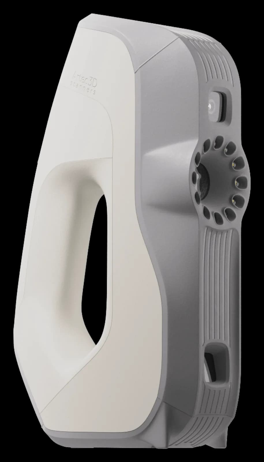
Artec Jet is a mobile LiDAR scanner with SLAM positioning for mapping buildings, infrastructure, and underground spaces. It can be carried by hand or mounted on a backpack, vehicle, robotic platform, or compatible drone.
- Accuracy
- ±10 mm
- Connectivity
- Wireless
- Object size
- 2 m and larger; rooms and buildings
Choose your package
Select what you need — the total updates instantly.
Confused by the configurations?
Tell us what you design and Kaddi will help sort it out.


Jet collects point clouds while moving and can operate without satellite positioning or external lighting. Its LiDAR measurement range is 0.5–300 meters. This scanning method is designed for surveying sites, tunnels, and other spaces where repeatedly setting up a tripod is impractical.
Read more
The full specifications distinguish LiDAR accuracy, mapping accuracy, and change detection. Mapping accuracy is listed as ±15 mm under general conditions and ±10 mm indoors or underground. With three returns recorded, capture speed reaches 1 920 000 points per second.
Large datasets are processed, merged, and analyzed in Artec Twins. Color is added using a compatible camera and is listed as an option in the specifications. Autonomous navigation and collision avoidance are available for aerial scanning, with compatibility depending on the selected drone.
Mapping
- Mapping method
- SLAM-based LiDAR mapping, ±0.03% drift
- LiDAR measurement range
- 0.5–300 m
- LiDAR accuracy
- ±10 mm
- Mapping accuracy under normal conditions
- ±15 mm
- Indoor and underground mapping accuracy
- ±10 mm
- Change detection
- ±5 mm
- Capture rate with single return
- Up to 640,000 points/s
- Capture rate with three returns
- Up to 1,920,000 points/s
- Maximum vehicle speed
- 60 km/h
- Maximum aboveground flight speed
- 5 m/s
- Maximum underground flight speed
- 2 m/s
- Start and stop while walking or hovering
- ✓
- Laser class
- Class 1, eye-safe
Scanning
- Field of view
- 360° × 290°
Physical specifications and operating conditions
- Enclosure protection rating
- IP65
- Operating temperature
- −10 to +45 °C
- Power supply
- 14–54 V, 64 W (battery or external power)
- Built-in storage
- 512 GB (approximately 16 h)
- Quick-release mount
- ✓
- Mounting options
- Handheld, backpack, drone, vehicle, cage, pole, or robot
Design
- Weight
- 1.57 kg
Output data and file formats
- Point cloud formats
- LAS, LAZ, PLY, E57
- Output data
- Full and downsampled point clouds, trajectory file
- Point attributes
- Intensity, range, time, return number (strongest, first, and last), ring number, optional RGB color
Autonomy and safety
- Pilot assistance modes
- GPS-denied flight, position hold, flight assistance, obstacle avoidance, speed limiting
- Autonomous flight modes
- Autonomous waypoint flight
- AL2 waypoint types
- 2D, 3D, plane, altitude
- AL2 navigation modes
- Obstacle avoidance guidance, local and global route planning
- Collision avoidance system field of view
- 360° × 360°
- Collision avoidance system range
- 1.2–40 m
- Minimum detectable obstacle size
- Wire from 2 mm
- In-flight safety distance adjustment
- ✓
- Return to home
- When battery is low or dust levels are high
Interfaces
- Auxiliary port
- Proprietary connector
- USB interface
- ✓
- Wi-Fi interface
- Built-in antenna
Supported drones
- Supported drones
- DJI M300, DJI M350, Freefly Astro Max
Autopilot compatibility
- Autopilot compatibility
- DJI M300, DJI M350, Freefly Astro Max
Frequently bought with
Often bought together with this product.