Artec 3D
Artec Ray II
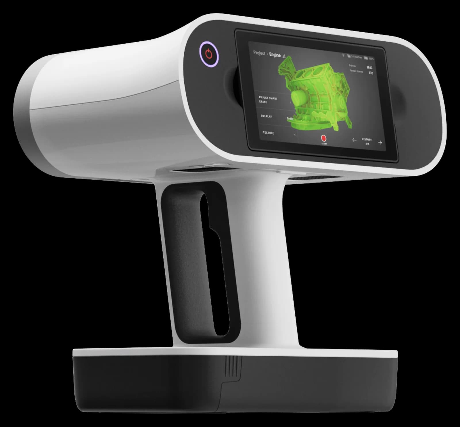
Artec Ray II is a laser LiDAR scanner for large objects, buildings, and extensive scenes, with a range of up to 130 meters. Mounted on a tripod, it captures geometry and panoramic color images.
- Accuracy
- Up to 1.9 mm at 10 m
- Connectivity
- Wireless
- Object size
- 50 cm and larger
Choose your package
Select what you need — the total updates instantly.
Confused by the configurations?
Tell us what you design and Kaddi will help sort it out.


Ray II is used to digitize aircraft, industrial equipment, bridges, and indoor spaces. Its field of view covers 360 degrees horizontally and 300 degrees vertically. Large scenes are captured from multiple positions, while a visual-inertial system helps pre-align point clouds.
Read more
3D point accuracy depends on distance: the manufacturer specifies 1.9 mm at 10 meters, 2.9 mm at 20 meters, and 5.3 mm at 40 meters. Three resolution settings are available: 3, 6, and 12 mm at 10 meters. Color capture uses a three-camera system and automatic HDR.
Scanning can be controlled using the touchscreen or Artec Remote on a mobile device. Two internal batteries provide a typical operating time of up to four hours; external power is also supported. For areas requiring more detailed geometry, Ray II data can be combined with scans from Artec handheld devices.
Accuracy and resolution
- 3D point accuracy
- 1.9 mm at 10 m; 2.9 mm at 20 m; 5.3 mm at 40 m
- Angular accuracy
- 18 arcseconds (0.87 mm at 10 m)
- Range measurement accuracy
- 1.0 mm + 10 ppm
- Resolution
- 3 selectable modes: 3 / 6 / 12 mm at 10 m
- Range measurement noise
- 0.4 mm at 10 m; 0.5 mm at 20 m
Scanning
- Field of view
- 360° horizontal / 300° vertical
Field of view and range
- Range
- 0.5–130 m
Speed
- 3D capture speed
- Up to 2,000,000 points/s
- Scanning time without texture at 10 m
- 1 min 42 s at 3 mm; 51 s at 6 mm; 26 s at 12 mm
- Scanning time with texture at 10 m
- 2 min 42 s at 3 mm; 1 min 51 s at 6 mm; 1 min 26 s at 12 mm
Color capture
- Camera
- 3 × 36 MP cameras, 432 MP of raw data for a 360° × 300° spherical panorama
- High dynamic range (HDR)
- Automatically, 5 exposures
Control
- On-scanner controls
- WVGA 480 × 800 color touchscreen
- Mobile device controls
- Artec Remote app for iOS and Android: start scanning, adjust settings, remote control
Algorithms
- Real-time scan registration
- Automatic point cloud registration: visual-inertial system tracks scanner movement between stations
- Automatic moving object removal
- Moving object removal (Double Scan)
- Verification and adjustment
- Field verification of angular parameters without targets
Navigation sensors
- Visual-inertial system
- Video-assisted inertial system tracks scanner position relative to the previous station
- Tilt
- IMU-based, 18 arcsecond accuracy (tilt up to ±10°)
- Geolocation sensors
- Altimeter, compass, GNSS
Interfaces
- Wireless connectivity
- Built-in Wi-Fi (802.11 b/g/n)
- Data storage
- Removable USB 3.0 AS256 drive, 256 GB
Hardware specifications
- Scanning technology
- Waveform digitizing time-of-flight (WFD)
- Laser class
- Class 1 (IEC 60825–1:2014), 1550 nm, invisible
- Dimensions
- 120 × 240 × 230 mm
- Mounting mechanism
- 5/8" quick mount for carbon-fiber tripod or adapter
Design
- Weight
- 5.35 kg without batteries
Power supply
- Internal batteries
- 2 built-in AEB364 Li-ion batteries
- Internal battery runtime
- Typically up to 4 h
- Weight per battery
- 340 g per battery
- External power supply
- GEV282 power supply
Operating conditions
- Operating temperature
- −5 to +40 °C
- Storage temperature
- −40 to +70 °C
- Low-temperature operation
- −10 to +40 °C
- Dust and moisture protection
- IP54 (IEC 60529), dust and splash protection
Sample scans
Models captured with the Artec Ray II scanner. Click to open full size and rotate.
Models: Artec 3D, CC BY 3.0 license
Frequently bought with
Often bought together with this product.