
GeoniCS 2025: Support for AutoCAD 2025
GeoniCS 2025 is a software suite that runs on AutoCAD Civil 3D, AutoCAD Map 3D, or AutoCAD (versions 2019–2025) and automates design and survey work.…
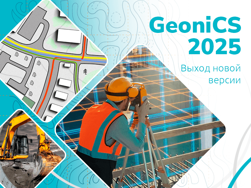
GeoniCS 2025 is a software suite that runs on AutoCAD Civil 3D, AutoCAD Map 3D, or AutoCAD (versions 2019 through 2025) and automates design and survey work. It is intended for surveying and site planning specialists.
Key Features of GeoniCS 2025
Support has been added for 64-bit AutoCAD/AutoCAD Map 3D/AutoCAD Civil 3D 2025 platforms. Object data and semantics can now be displayed in the Properties Manager. The hatch selection dialog and 3D surface area calculations have been corrected. The networks section has been improved. Alignment functions related to profile editing have been fixed. The project database converter has been improved for both directions between Access and SQLite.
The “ТОПОПЛАН” module is the core of the software. It creates topographic plans, manages project survey point databases, builds 3D terrain models, and analyzes the resulting surfaces. Terrain models can then be used to solve various practical tasks.
The “ГЕНПЛАН” module supports the design of industrial facilities and civil construction projects. It fully complies with GOST 21.508−93, “Rules for Preparing Detailed General Plan Documentation for Enterprises, Structures, and Residential and Civil Facilities.”
The “СЕТИ” module supports external utility network design and preparation of the required deliverables.
The “ТРАССЫ” module supports the design of linear infrastructure and the preparation of required documents.
The “СЕЧЕНИЯ” module generates sections of existing surfaces and draws design cross-sections.
The “ГЕОМОДЕЛЬ” module automates the preparation of graphic engineering geology reports, including geological profiles and borehole logs.
Based on the project model, GeoniCS 2025 automates drawing production in strict accordance with current Russian documentation standards. It fills in the necessary title blocks and schedules and, if required, automatically distributes the drawings across sheets of a specified format.
Using GeoniCS with other CSoft Development applications (GeoniCS Surveying (RGS, RgsPl), RasterDesk, Spotlight, etc.) enables integrated end-to-end design workflows.
Purchase a License or Upgrade
GeoniCS is available under two licensing models: perpetual licenses and fixed-term licenses for one or two years.
You can purchase the new GeoniCS release by contacting a cad.kz manager. Customers with an active subscription receive updates free of charge: license numbers are activated in their account at csdev.ru, and download links for the installer are sent to their registered email address.
For further questions about GeoniCS updates, contact the official Csoft Development distributor in Kazakhstan:
- Phone
- +7 (7172) 577075, 578028,
- Mobile
- +7 (771) 936 50 20
- +7 (701) 550-18-93
- office@cad.kz